The first step in the transformation of the area is the establishment of a clear infrastructure ensuring high accessibility of the site and full connectivity with the surrounding neighborhoods. The first phase of the transformation of the E13 area is not about the design of objects but about the definition of a context, of the premises for a lively neighbourhoods to grow.
_


1. INFRASTRUCTURE. LOOP
The masterplan eliminates all through streets on the site in order to give priority to pedestrian and bike movement. A single new road appears in Bergs, following the geography of the site, extending Skonviksvagen and running around the whole project area. The new ring-road will absorb all public and private car mobility, ensuring maximum and equal conditions of accessibility with minimal impact on the area. The Loop provides direct access to the parking areas of the new residential buildings – mostly located in underground garages taking advanatge of the topography of the site. Carefully graded and landscaped in order to minimize their intrusion, exceptional above-ground parking can be located along the loop and in proximity of the new public buildings. An urban precinct of remarkable resolution, quiet generosity and comfortable repose, the Loop is the formal infrastructure for future activities taking place on the site. As a precise border definig access and formalising the whatsoever happening inside it realises a preliminary clean condition for the different desires of Nacka to come to the surface.
2. NATURE. LINEAR PARK
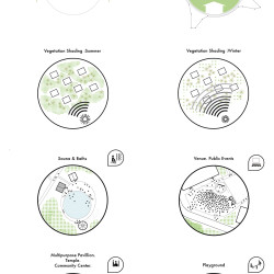
Countering the current tendency to understand urban space as the residual vacuum in-between independently arranged volumes, in Bergs precedence is given to public and open spaces. Freed from car traffic, the center of the area is reserved for a sweeping linear park. Stretching along the east-west axis the park will reestablish the continuity of the Varmdo green wedge and a natural connection between the natural areas of Ryssbergen and Nickelviken, strengthening the natural identity of Nacka. The big scale of the park – covering the whole width of the site – allows for a wide range of landscaping solutions (forest, lawn, playground, watergarden, etc.) making the masterplan a sensuous and lively natural experience. Deliberately public, the park will become a gathering venue for the local community and the whole city. Its quiet monumentality is complemented by a playful multitude of events and objects, public and private services as playgrounds, greenhouses, sport facilities, school. In this sequence of built and unbuilt, solid and hollow, housing and green, the intensity is not found in one condition or the other, rather in the mutual reinforcement of each of these counterparts, engendering a dynamic perception of the full site. Before the appearance of any architectural object, the linear park supports extensive uses and interactions on the area. It establishes the condition of emptiness between and around possible buildings capable of absorbing diversity and change while simultaneously addressing a strong identity for the site.
3. ARCHITECTURE. ADAPTABLE GRID
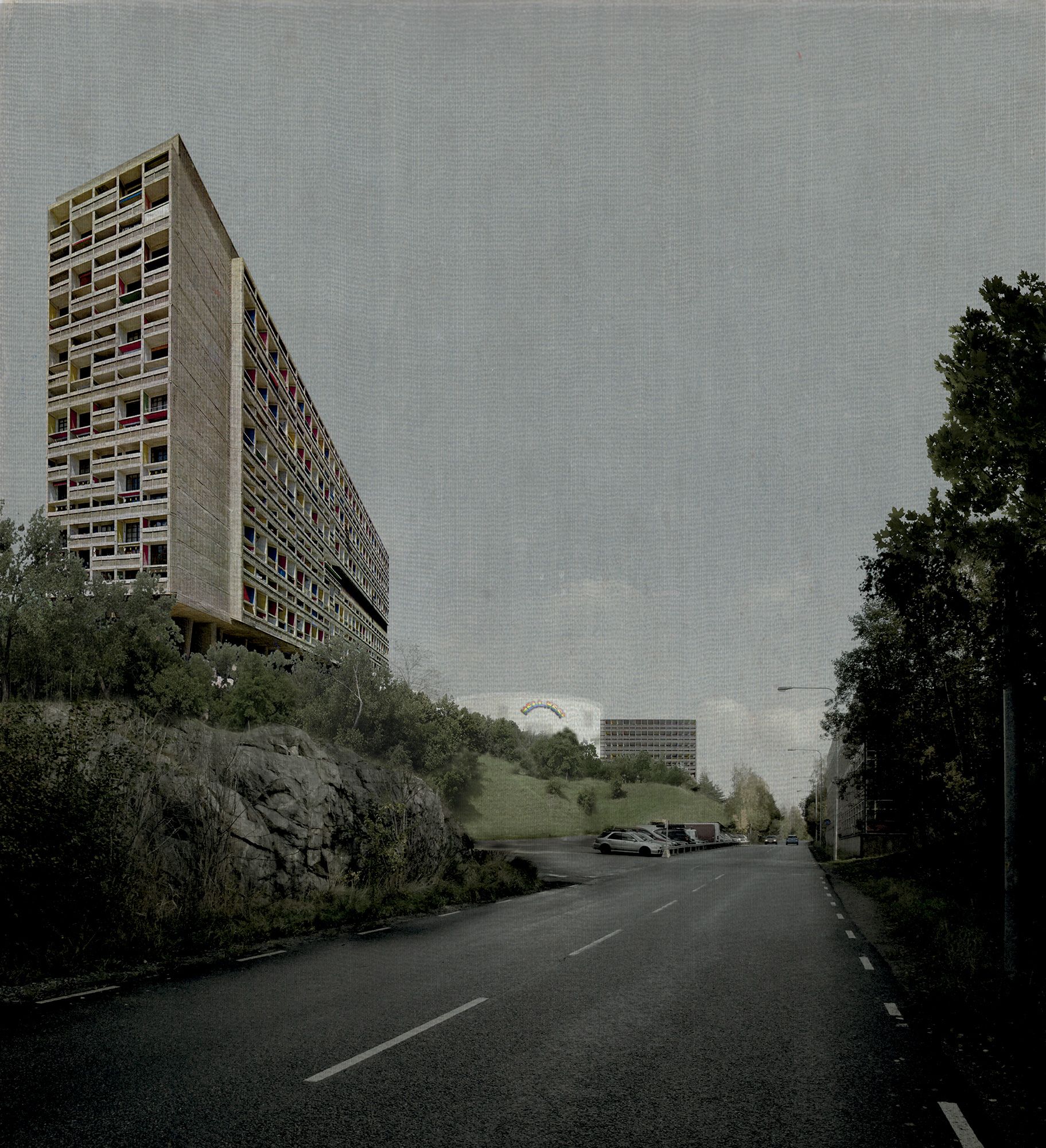
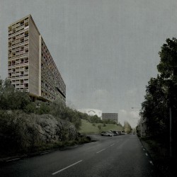
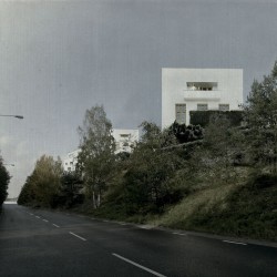
Two main areas are left for urban densification. One on the North side of the area, characterised by the steep pendency of the cliff towards the sea, and one on the South side of Bergs, facing Skonviksvagen and close to the Jarlaberg housing area. These areas, in their specificity, are understood as field for architectural possibilities. A grid is overimposed on the site therefore identifying different parcels of land. The raster of the grid can be reduced or enlarged (25-50-75-100m) to define a denser or looser pattern of plots, corresponding to different densification strategies. The grid allows for a customisable urban pattern, with possible variations in footprint, ranging from a suburban density to a metropolitan one. From a strategic point of view, the grid provides the preliminary definition of an immaterial yet robust framework within which objects of various form, program and duration will be able to progressively appear in response to the specificity of unpredictable social economical and political circumstances. Defining the mutual relations of proximity and distance between possible objects the grid sets the premises for a plural and positive urban enviroment and for the quality of its architecture. Afterwards, different portions of the area will be able to develop following different scenarios in respect to the different parcelization of the site. The current masterplan envisions an option targeted at overall surface of 150.000 m2 of residential units with different leasing formats (owned, rental, co-operative properties), complemented by public facilites for education, sport and art, yet coherent ensemble.
The catalogue of buildings that accompanies the masterplan suggests, despite its limited number of examples, the variety of architectural solutions made possible by such a flexible and reversible strategy. The buildings are grouped in families, corresponding to different densification strategies and urban conditions. Although it is possible to create complex combinations of buildings, with our selection of examples we suggest the possibility of shaping a rich urban enviroment with buildi